Story
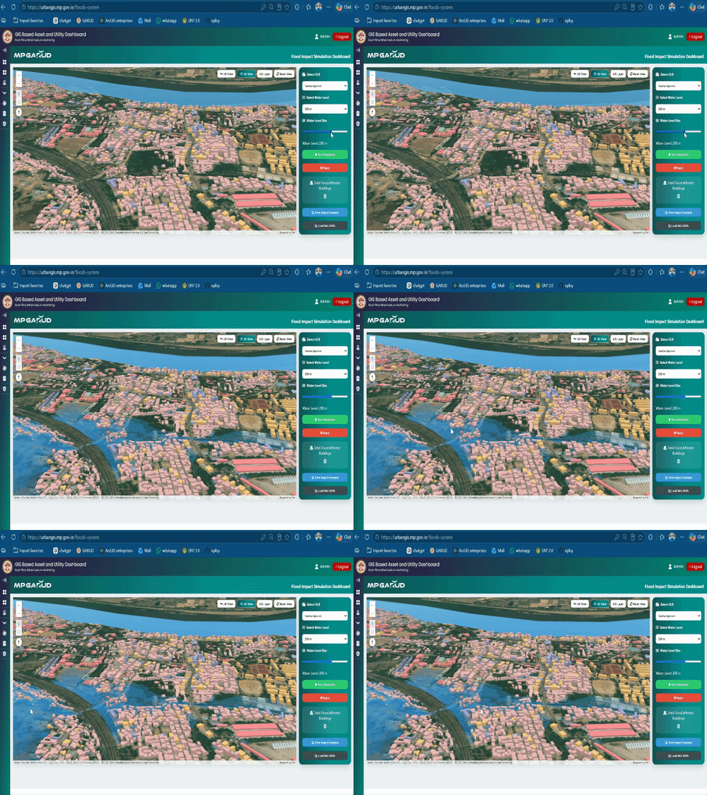
Garuda will reveal how many houses will be submerged if a flood occurs: The MP who prepared the GIS data of 413 bodies is the first state to do so; the system will show the impact as water levels rise.
Madhya Pradesh has become the first state in the country where GIS data of every household and urban system has been prepared for all 413 urban bodies. The 'GARUD MP' system will now enable potential hazards to be detected before floods occur. A map will be prepared in advance for areas, houses, and populations that are likely to be affected by rising water levels in rivers and drains in Indore, Bhopal, and other small and large cities. This will help prepare for relief and rescue efforts.
Source articles
 गरुड़ बताएगा बाढ़ आई तो कितने घर डूबेंगे:413 निकायों का GIS डेटा तैयार करने वाला MP पहला राज्य; सिस्टम से जलस्तर बढ़ने पर दिखेगा असर
Dainik Bhaskar — Madhya Pradesh · 4h ago